 vesseltracker.com
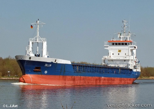
Vessel '271048133' IMO: 9130224, MMSI: 271048133
UTC, 43.72278, 13.72903, course: 135, speed: 7.9
UTC, 43.50612, 13.93095, course: 148, speed: 8.7
2026-02-03 01:31:09 UTC, 43.28550, 14.11425, course: 143, speed: 8.6
Live AIS position:
UTC. 15 nm NE of Porto San Giorgio),
updated 2026-02-03 01:31:09 UTC.
Find the position of the vessel '271048133' on the map. The latter are known coordinates and path.
marine traffic ship tracker show on live map
The current position of vessel '271048133' is 43.28550 lat / 14.11425 lng. Updated: 2026-02-03 01:31:09 UTCDetails:
Last coordinates of the vessel:
UTC, 43.91763, 13.43450, course: 134, speed: 7.3UTC, 43.72278, 13.72903, course: 135, speed: 7.9
UTC, 43.50612, 13.93095, course: 148, speed: 8.7
2026-02-03 01:31:09 UTC, 43.28550, 14.11425, course: 143, speed: 8.6